Pithoragarh
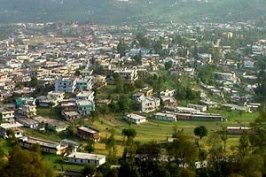
''Pithoragarh is the easternmost district of Uttarakhand, neighbouring Tibet in the north and Nepal in the east. A place of exquisite natural beauty and serenity, Pithoragarh is popularly known as the 'Little Kashmir'.
This captivating town with fascinating forests around it is located at an impressive height of 1,645 m and is nestled in a small valley. Pithoragarh town is a historical landmark.It was a major center of power during the regime of the Chand Kings in Kumaon.
''
From here, pilgrims take their journey to the holy shrines, Kailash and Mansarovar.This valley also nestles the snow-crested peaks Nanda Devi East (7,434 m) and West (7,817 m). Below these mighty peaks lie the alpine valleys and glaciers like Milam, Ralam, Namik and Sundardunga.
Pithoragarh is rich in natural beauty and it offers best view of the Himalaya.Some of the peaks like Nanda Devi ,Panchchuli ,Trishul , Nandakhat falls in this district.District pithoragarh has some finest glacires in the world such as Milam Glacier,Sunder Dhunga Glacier, Ralam Glacier, Namik Glacier.Pithoragarh has a cool climate which makes it comfortable all year round. Pithoragarh
BEST TIME TO VISIT
Pithorgarh has a cool but pleasant climate in summers and chilly climate in winters.The best season to visit Pithorgarh is from April to November.
PLACES AROUND PITHORAGARH
Pithoragarh Fort - An impressive fort built by the Gorkhas in the 18th Century. The Government Buildings are housed in this Fort.
Dhwaj Temple - At an altitude of 2,100 m, this temple is dedicated to Lord Shiva and Goddess Jayanti. It is located at a point, which offers a scenic view of the valley and the hills around and the snow-capped peaks.
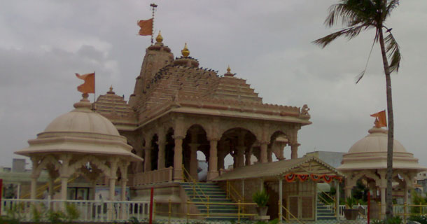
KAPILESHWAR MAHADEV TEMPLE - A cave temple dedicated to Lord Shiva, in the outskirts of the city. From here one can have a panoramic view of the Soar valley and the surrounding Himalayan peak.

CHAMPAWAT - Champawat, 76 km from Pithoragarh, was once the capital of Chand Rajas, whose fort now houses a government office; the town has many architecturally beautiful temples.
DHARCHULA - Dharchula is about 95kms from Pithoragah on the banks of river Kali, it is a transit point, to Kailash -Mansarovar and Adi Kailash.It is a major woollen and woollen products centre.
THAL KEDAR - At a distance of about 25kms from Pithoragarh, this place is of great religious importance.A large fair is held every year during Shivarathri.Thal Kedar is noted for its famous Mahadev temple.
Jaul Jibi - At a distance of about 68 km Jaul Jibi is a significant trading centre bordering Nepal. Lying at the confluence of rivers Gori and Kali, it truns into a lively fair ground annually.
CLIMATE
Pithorgarh has a cool but pleasant climate in summers and chilly climate in winters.Summers (April to June) are very pleasant with moderate climate and the temperature ranges from 7-20°C. Winters (December to March) are chilly days with average minimum touching near 4°C, with maximum never crossing 8°C.
HOW TO REACH THERE
Air: Naini Saini is the airport at Pithoragarh, just 5 km away from the city. It is not in operation.
Rail: Tanakpur is the nearest railhead, at a distance of 151 km.
Road: Pithoragarh is well connected by a good network of roads with all the major towns in the area. The distance from the nearest major town Champawat is 75 km, Lohaghat is 62 km, Munsyari 135 km and Tanakpur 151km.
Fast Facts about Pithoragarh
State: Uttarakhand
District: Pithoragarh
Famous for/as: Scenic
Languages: Kumaoni, Hindi
Season: Mar - Jun, Sep - Dec
Winters: 0-24°C
Altitude: 1514 m
Pincode: 208016
STD code: 05964
Distance Charts to Pithoragarh
Delhi to Pithoragarh 457 KM
Nagpur to Pithoragarh 1207 KM
Bangalore to Pithoragarh 2270 KM
Almora to Pithoragarh 160 KM
Ranikhet to Pithoragarh 216 KM
ALONG PHOTO GALLERY

Pithoragarh city
Kapileswar Mahadev
Naran ashram
Chaukori
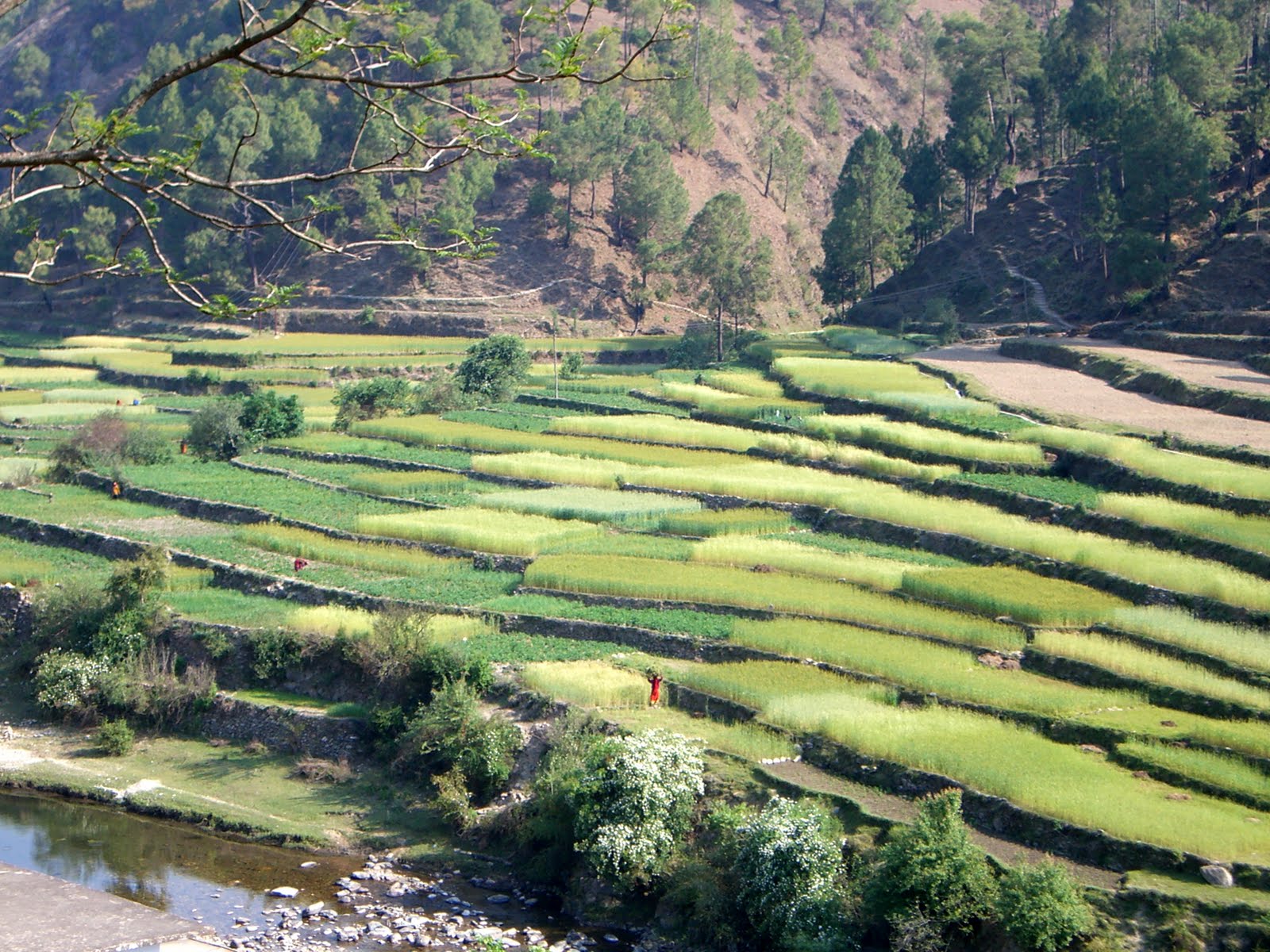
Village farming

Champawat

Villages women
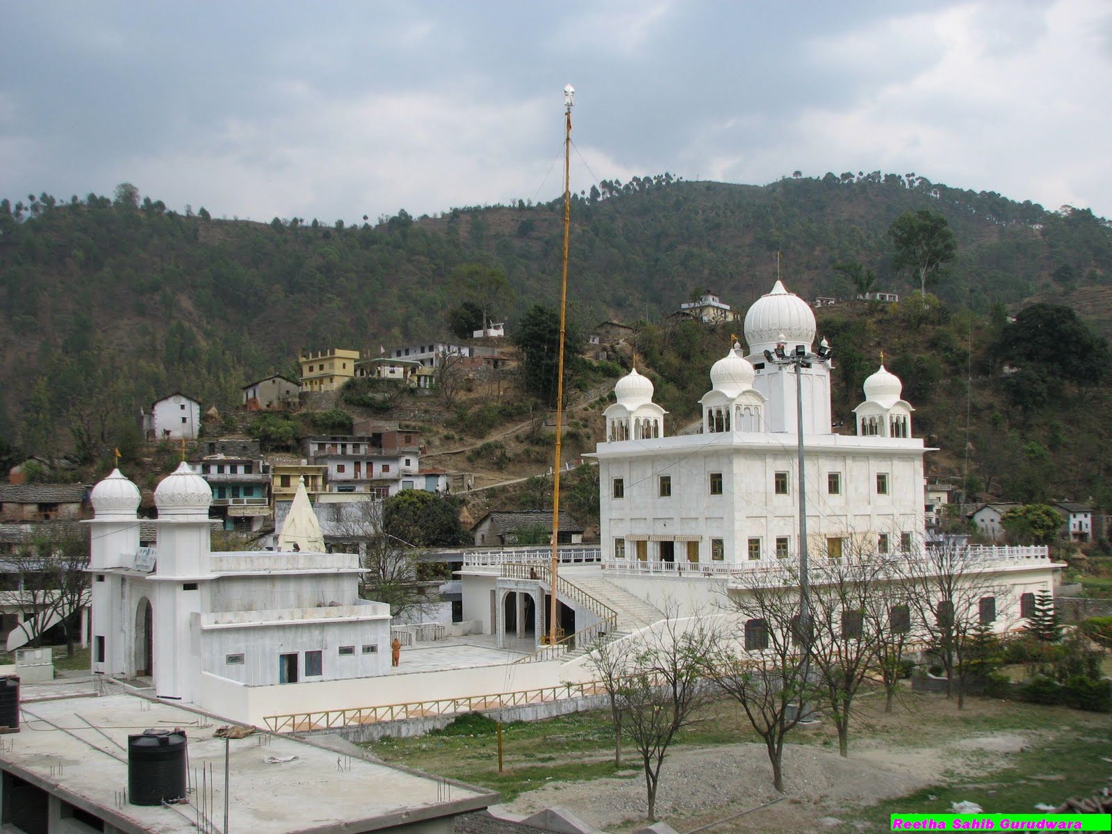
Reetha sahib
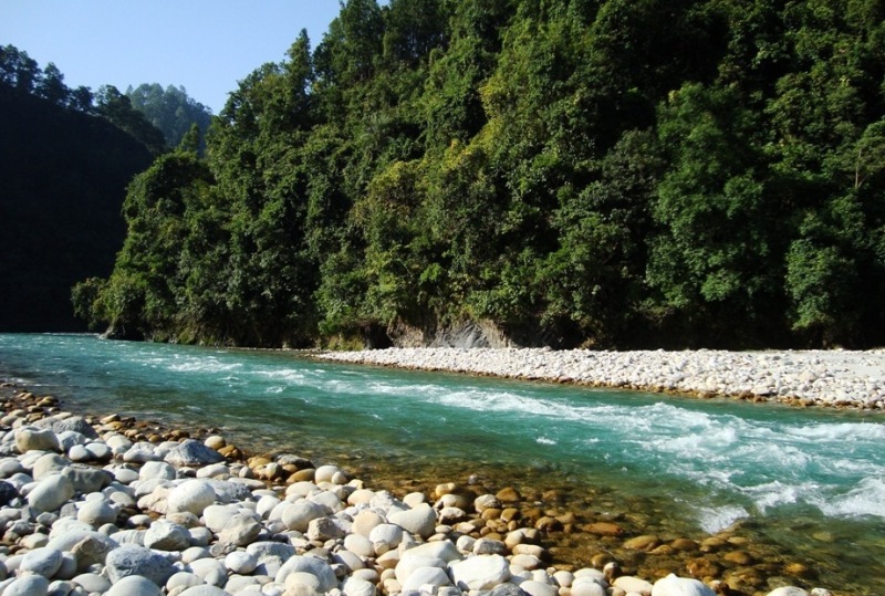
Pithoragarh

Cricket